hiking
Just a few meters from the house, within the Teno Rural Park, we find El Monte del Agua and the Charcas de Erjos.
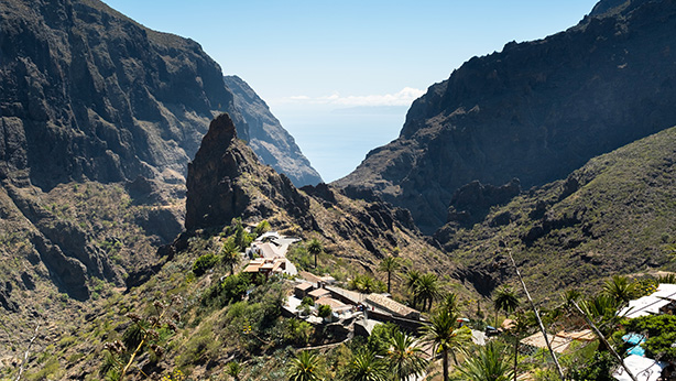
Barranco de Masca
The Masca Gorge is one of the most spectacular hiking spots in Tenerife. Located in the north of the island, this incredible trail takes you through an impressive landscape where towering rock walls and deep ravines combine with native vegetation. The route, which connects the picturesque village of Masca with Masca Beach, offers breathtaking views of the sea and a unique experience of immersion in nature. Along the way, hikers can enjoy a wild and beautiful natural environment, ideal for adventure lovers and photographers. The descent is a challenge that rewards you with an unforgettable landscape, perfect for those seeking an authentic experience in Tenerife.
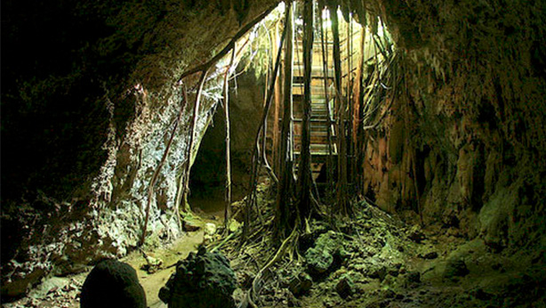
Cueva del viento
The Cueva del Viento, located in Icod de los Vinos, is one of the largest volcanic tubes in Europe and one of Tenerife’s main natural attractions. Formed by volcanic eruptions thousands of years ago, this underground cave offers a fascinating opportunity to explore the interior of the Earth. During the guided tour, visitors can venture into a maze of lava tunnels, discover impressive rock formations, and learn about the geological processes that led to the creation of this natural phenomenon. Additionally, the Cueva del Viento houses a unique ecosystem, with endemic species that can only be found in this type of volcanic formation. Without a doubt, it is a fascinating experience for those looking to discover another side of Tenerife’s volcanic history.
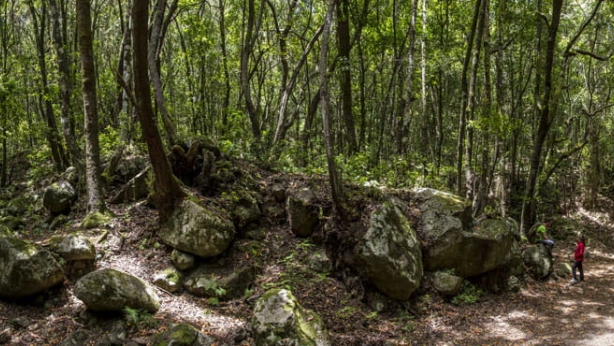
Monte del Agua
The route begins at the Erjos square (Municipality of Los Silos), next to the TF-82 road, which we cross to reach Las Cruces Street, where we take a trail that leads us to a dirt track. After about 500 meters, the track enters the forest. The trail continues to the northwest, covering another 3 kilometers as we venture into the eastern slopes of the El Palmar Valley. From there, the cloud forest clears up and areas of terraced farmland begin to appear.
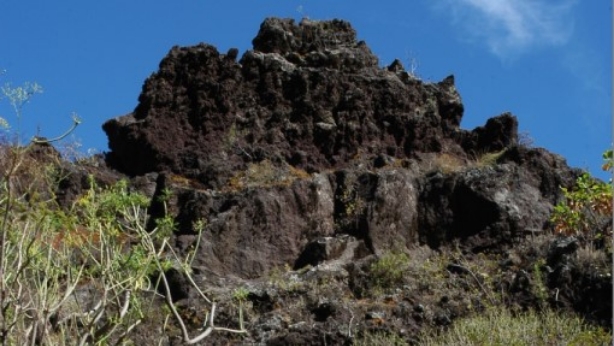
Cuevas Negras
The route starts in Erjos (Municipality of Los Silos). We cross the TF-82 road to Las Cruces Street, then divert to the north and continue along a path, leaving the last houses behind. The path follows the course of the ravine, and after 3 km, we reach Cuevas Negras, where we find the junction with the PR TF 53.1 trail. The trail continues almost in a straight line along the course of the Barranco de El Salto, and we reach Los Silos via Susana Street.

Las Moradas
The route starts at the Erjos square (Municipality of Los Silos). It shares the beginning with PR-TF 53 Los Silos – Cuevas Negras – Erjos and PR-TF 52 Erjos – Las Portelas (Monte del Agua) and connects with PR-TF 51 San José de Los Llanos – Punta de Teno. The first section, over 4 kilometers, is shared with the Monte del Agua trail. We leave the Monte del Agua track and descend the slope, and after traveling 3 km, we reach Las Moradas de Arriba. We continue along the slope until we reach Las Moradas Bajas. At this point, the path changes sides, and we follow the eastern slope of the Barranco de Las Moradas until it reaches Isla Baja.
Talavera
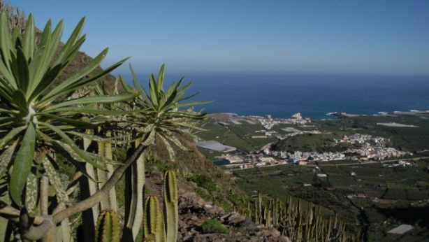
The route starts in the Pina area, near the center of Los Silos. The path ascends along the western slope of the Barranco de Pasos until reaching the Casas de Talavera. The path continues uphill until it reaches the watershed line, which marks the boundary between the municipalities of Los Silos and Buenavista. We continue ascending along this ridge until the path descends towards the orchards. This final section coincides with the connection between El Palmar and Monte del Agua. We continue along Susana Street and El Risquete to reach Las Canales.
Costa de Los Silos
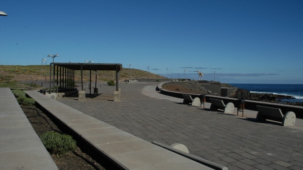
This is a 10-kilometer route along the coast of Los Silos and Buenavista. We begin in the Sibora area at the small harbor. The route follows a wide track that runs along the entire coastline, reaching the Buenavista lighthouse. From the lighthouse, the path turns into a trail, which in some parts is somewhat overgrown, but still easy to follow. Throughout the walk, we will encounter numerous tide pools and rock formations with whimsical shapes. Just before reaching the Buenavista lighthouse, we find the “Agujero de El Rayo,” a natural hole formed by sea erosion.
Erjos – Cumbres de Bolico – Erjos
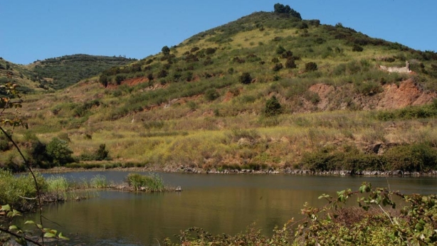
A very beautiful and easy-to-do route, with no major elevation changes or long distances, making frequent stops to enjoy the spectacular landscape, especially from the mountain summit. Greetings to the mountaineer Jesús who accompanied us on this outing.
San Jose de los Llanos – Montaña Chinyero
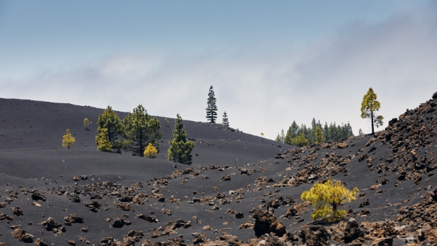
Starting from the San José de Los Llanos square (Municipality of El Tanque), ascend along Brisas del Teide Street to enter the pine forest. Shortly after, you will pass by the mountains of La Quebrada and El Banco, and later, the mountain of La Atalaya or the Volcán de Trevejos. Shortly after, you will cross the Vergara track and canal, continuing until you reach the slopes of Pico de Las Flores. The trail continues until it meets the PR-TF 43 Garachico – Montaña Chinyero trail.
Paisaje Lunar – Vilaflor
After leaving the village of Vilaflor de Chasna behind, the Camino del Atajo begins, which is part of the old Camino Real de Chasna, an ancient communication route between the north and south of the island. Once inside the pine forest, you will pass by Casa Galindo, alongside the Barranco de Las Mesas. Next, you will need to cross the ravine to continue ascending along the Camino de Chasna, enjoying fantastic views of the summit. During the descent, you will reach the viewpoint of Los Escurriales (Lunar Landscape) until you connect with a path that passes by Casa de Los Llanitos, which will lead you back to the path you took to ascend, allowing you to return to Vilaflor.